|
#1
May 21st, 2015, 09:57 AM
| |||
| |||
| GBPUAT Map
I am living in Lucknow. I have passed 12th class in agriculture. Now I want to do B.Sc degree in Agriculture. So pls provide me route map of the G. B. Pant University of Agriculture and Technology (GBPUAT). I want to go at the University Campus to get prospectus for B.SC Agriculture Program. tell me what is the fee structure for this B.Sc Program? Govind Ballabh Pant University of Agriculture and Technology GBPUA&T, is the first agricultural university of India. The University is located in Pantnagar, Uttarakhand, India. Contact- G.B. Pant Agriculture University District - Udham Singh Nagar, Pantnagar, Uttarakhand 263153 Map location Campus Map 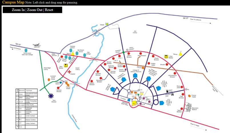 How To Reach Pantnagar is about 250 kilometers from Delhi, 360 kilometers from Lucknow, 90 kilometers from Moradabad, 75 kilometers from Bareilly and 65 kilometers from Nainital by road. It is connected to the rest of world by the Delhi Nainital National Highway and the Bareilly Nainital Highway. A large number of state and interstate buses fly on these roads. Pantnagar Railway Station, on the Lucknow, Bareilly, Lalkuan section of North East railways, is about 4 km east of the University administrative building. Haldi road Railway station, on the Delhi Rampur Kathgodam section of northern and north eastern railways is about 3 kilometers west of the University Administrative buildings. Persons coming from Delhi may board the Ranikhet Express and get down at Haldi Road Station where the University bus will be available for Internal transport. They can travel by any bus plying towards Haldwani via Moradabad Rampur and Rudrapur, and get down at Phoolbagh, two kms west of the Administrative Building. Persons coming from Lucknow may board the Nainital Express and get down at Pantnagar Station where University bus will be available for internal transport. Else, they can travel by any bus plying towards Haldwani via Bareilly and get down at Nagla, near Pantnagar Station. Persons coming from Agra may board the Kumaon Express and get down at Pantnagar Station. Persons from far east may reach Haldi Road station by Howarah Kathgodam Express. A civil airport situated near Haldi road railway station 3 Kilometers west of University Administrative building where private or chartered aircrafts may land. Last edited by Neelurk; March 12th, 2020 at 10:48 AM. |