|
#1
August 16th, 2016, 02:50 PM
| |||
| |||
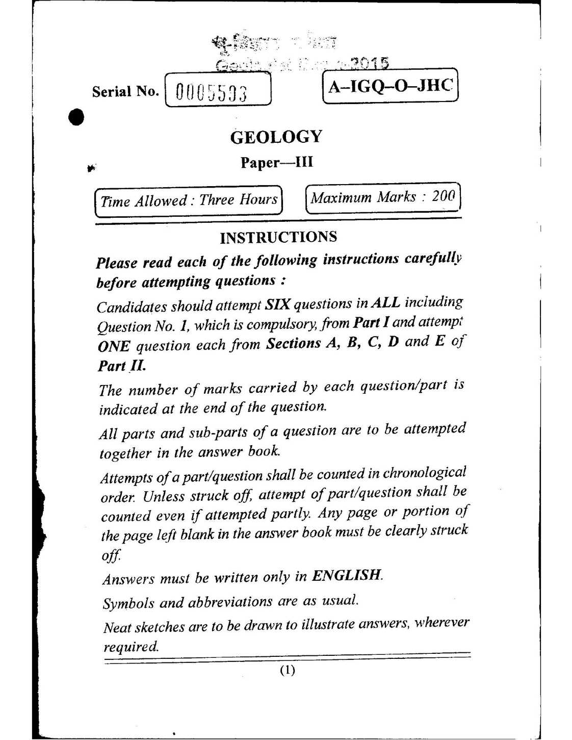
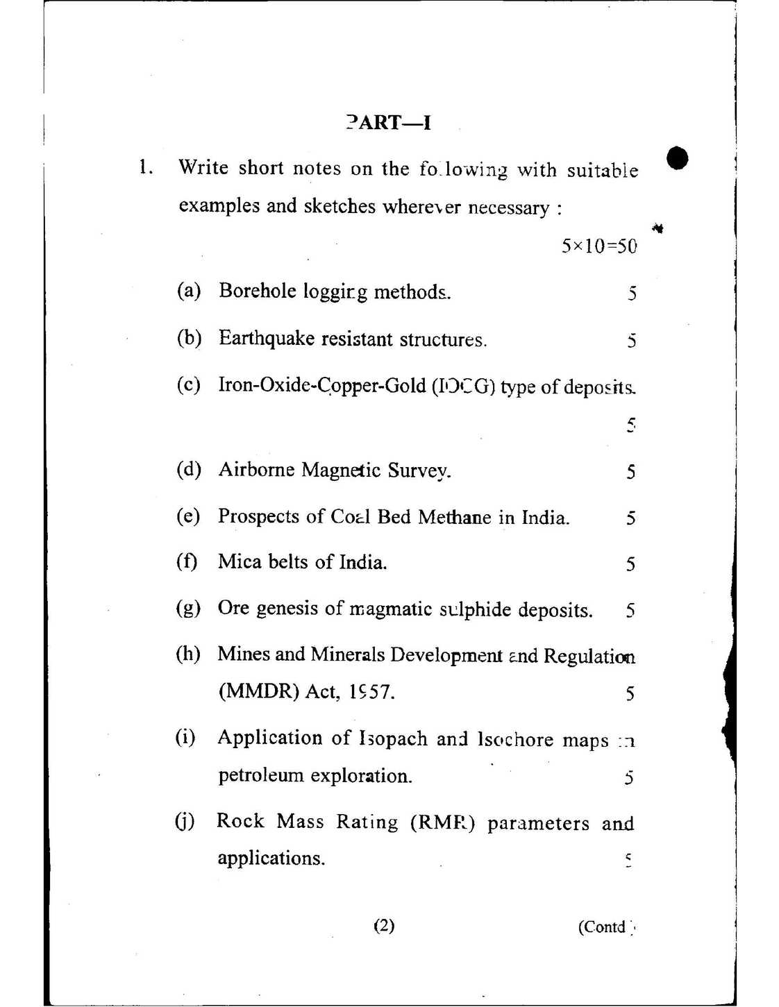
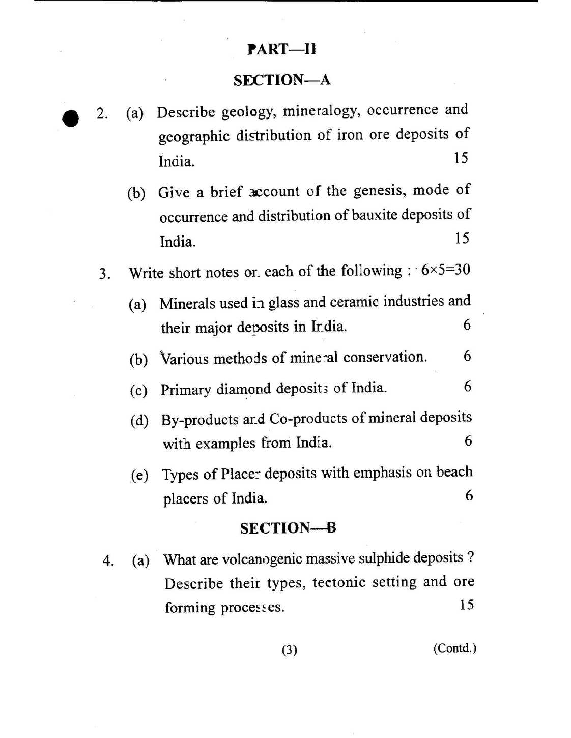
| Geologist Exam Question Paper
I’m preparing for post of Geologist Scientist conducted by UPSC and looking for Geologist Exam paper and syllabus, for that can you please help me? As you preparing for post of Geologist Scientist conducted by UPSC and looking for Geologist Exam paper and syllabus here I will get it for you.    Here is the syllabus Section A : Geomorphology and Remote Sensing. Introduction : Development, Scope, Geomorphic concepts, Types and Tools; Landforms: Role of Lithology, peneplaination, endogenous and exogenous forces responsible, climatic and Tectonic factors and rejuvenation of landforms; Denudational processes : Weathering , erosion, transportation, weathering products and soils – profiles, types, duricrusts; Hillslopes : Their characteristics and development, fluvial processes on hillslopes; River and drainage basin: Drainage pattern, network characteristics, Valleys and their development, processes of river erosion, transportation and deposition; Landforms produced by geomorphic agents: Fluvial, Coastal , Glacial and Aeolian landforms; Geomorphic indicators of neotectonic movements : Stream channel morphology changes , drainage modifications, fault reactivation, Uplift – subsidence pattern in coastal areas; Applied Geomorphology : Application in various fields of earth sciences viz. Mineral prospecting, Geohydrology, Civil Engineering and Environmental studies; Geomorphology of India: Geomorphical features and zones Electromagnetic radiation – characteristics, remote sensing regions and bands; General orbital and sensor characteristics of remote sensing satellites; Spectra of common natural objects – soil, rock, water and vegetation. Aerial photos – types, scale, resolution, properties of aerial photos, stereoscopic parallax, relief displacement; Principles of photogrammetry; Digital image processing – characteristics of remote sensing data, preprocessing, enhancements, classification; Elements of photo and imagery pattern and interpretation, application in Geology; Remote sensing applications in interpreting structure and tectonics, Lithological mapping, mineral resources, natural hazards and disaster mitigation, groundwater potentials and environmental monitoring. Landsat, Skylab, Seasat and other foreign systems of satellites and their interpretation for geological and other studies; Space research in India – Bhaskara and IRS systems and their applications, Thermal IR remote sensing and its applications, Microwave remote sensing and its applications. Principles and components of Geographic Information System (GIS), remote sensing data integration with GIS, applications of GIS in various geological studies. Last edited by Neelurk; May 2nd, 2020 at 05:11 PM. |