|
#2
June 20th, 2016, 04:08 PM
| |||
| |||
| Re: Bhuvan ISRO Mobile
Bhuvan is a software application which allows users to explore a 2D/3D representation of the surface of the Earth. The browser is specifically tailored to view India, offering the highest resolution in this region. Basic features of Bhuvan Mobile: • Access, explore and visualise 2D image data along with rich thematic information on Soil, wasteland, water resources etc. • Visualise multi-resolution, multi-sensor, multi-temporal image data • Superpose administrative boundaries of choice on images as required • Data provided by Indian satellites , updated regularly to provide accurate information better than other available mapping softwares for India. ISRO plans to allow the end-user to participate in the development of features for the product in the future. Some of the functionality planned for future versions includes: Online shapefile creation Urban Design Tools (to build roads, junctions and traffic lights in an urban setting) Contour maps (displays a colourized terrain, maps and contour lines) Terrain profile (displays the terrain elevation profile along a path) Draw tools (creates simple markers, free hand lines and urban designs) Navigation map (to jump to and view locations in 3D) Official portal of the Bhuvan ISRO looks like: 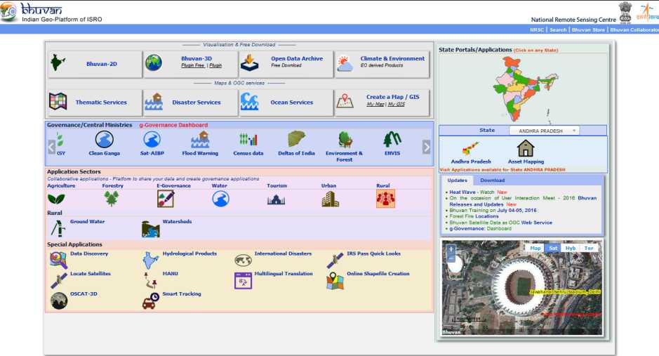 Contact: Bhuvan Cell, National Remote Sensing Centre Indian Space Research Organisation Government of India Balanagar Hyderabad - 500 625,INDIA. Ph : +91-40-2388 4588/89 Email : bhuvan[at]nrsc[dot]gov[dot]in |